Danger level
2200m
Avalanche Problem

Wind-drifted snow

2200m

Wind slabs in high Alpine regions.
The wind slabs of the last three days represent the main danger. The wind slabs are mostly small but in some cases prone to triggering. They are to be found in particular adjacent to ridgelines in all aspects and generally in the high Alpine regions. Wind slabs can be released, even by a single winter sport participant, but they will be small in most cases. As the precipitation becomes more intense the prevalence and size of the avalanche prone locations will increase in the evening.
Snowpack
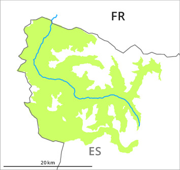
>5 to 15 cm of snow has fallen since Saturday above approximately 2000 m. The new snow and wind slabs of the weekend are lying on the unfavourable surface of an old snowpack in all aspects and at intermediate and high altitudes. In the valleys of Molières and Conangles and near the border with France and Benasque 10 to 20 cm of snow will fall until Wednesday above approximately 1800 m. In the other regions up to 10 cm of snow will fall. The southwesterly wind will transport the fresh and old snow.
In all regions in all altitude zones less snow than usual is lying. At high altitude snow depths vary greatly, depending on the infuence of the wind. At low altitude from a snow sport perspective, in most cases insufficient snow is lying.
In all regions in all altitude zones less snow than usual is lying. At high altitude snow depths vary greatly, depending on the infuence of the wind. At low altitude from a snow sport perspective, in most cases insufficient snow is lying.
Tendency
Gradual increase in avalanche danger as a consequence of new snow and strong wind.