Danger level

2000m
Avalanche Problem

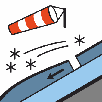
Wind-drifted snow

2000m


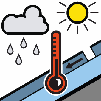
Wet snow

2000m


Old wind slabs require caution. Natural moist avalanches from the middle of the day.
The wind slabs of last week can be released by a single winter sport participant in particular on very steep north, northeast and east facing slopes and at high altitudes and in high Alpine regions. This applies in particular at their margins. In particular in gullies and bowls, and behind abrupt changes in the terrain Explanation: "these" may only stand for "these avalanches" can be triggered in the new snow and wind slab layers and reach medium size.
As a consequence of warming during the day and solar radiation moist snow slides and avalanches are to be expected from the early morning, even medium-sized ones.
The current avalanche situation calls for experience in the assessment of avalanche danger and careful route selection.
As a consequence of warming during the day and solar radiation moist snow slides and avalanches are to be expected from the early morning, even medium-sized ones.
The current avalanche situation calls for experience in the assessment of avalanche danger and careful route selection.
Snowpack
>Intermediate and high altitudes and shady slopes: Fresh and older wind slabs remain in some cases prone to triggering. In some cases the various wind slabs have bonded still only poorly with each other and the old snowpack. In particular in the south snow depths vary greatly, depending on the infuence of the wind.
Steep sunny slopes: Sunshine and high temperatures will give rise from early morning to softening of the snowpack.
At low altitude from a snow sport perspective, in most cases insufficient snow is lying.
Steep sunny slopes: Sunshine and high temperatures will give rise from early morning to softening of the snowpack.
At low altitude from a snow sport perspective, in most cases insufficient snow is lying.
Tendency
In some localities increase in danger of dry avalanches as a consequence of the moderate southwesterly wind.