Danger level

2000m
Avalanche Problem

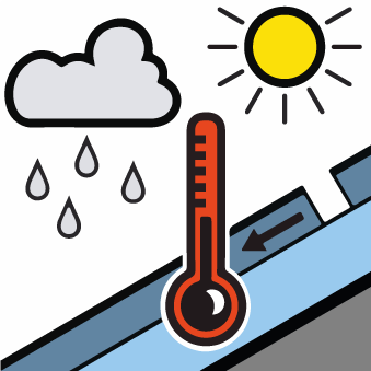
Wet snow

2000m


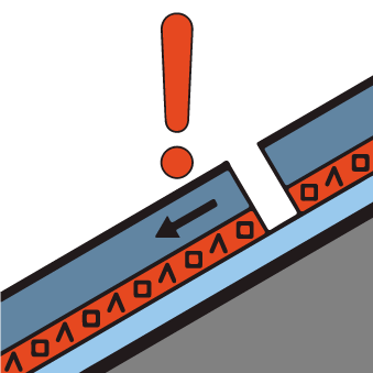
Persistent weak layer

2400m


Moist slab avalanches and wet and gliding avalanches are possible already in the early morning.
From the early morning as a consequence of warming during the day and solar radiation there will be a gradual increase in the danger of wet and gliding avalanches. This applies on very steep sunny slopes at intermediate and high altitudes, as well as on very steep shady slopes below approximately 2000 m. In addition on north and northeast facing slopes, individual moist slab avalanches are possible. These can in some places be released, even by small loads in isolated cases. The moist avalanches are rather small.
The old wind slabs of recent weeks can be released in isolated cases, but mostly only by large additional loads, on very steep shady slopes above approximately 2400 m. Explanation: "these" may only stand for "these avalanches" are rather small.
The old wind slabs of recent weeks can be released in isolated cases, but mostly only by large additional loads, on very steep shady slopes above approximately 2400 m. Explanation: "these" may only stand for "these avalanches" are rather small.
Snowpack
>The snowpack will be wet all the way through in all aspects. Outgoing longwave radiation during the night will be barely evident over a wide area.
Sunny slopes: The surface of the snowpack will already soften in the late morning.
Shady slopes above approximately 2400 m: Stability tests and weak layers in the old snowpack show the existence of a weak snowack.
In all regions at intermediate and high altitudes less snow than usual is lying. At low altitude from a snow sport perspective, in most cases insufficient snow is lying.
Tendency
The danger of moist and wet avalanches will decrease gradually.