Danger level

Avalanche Problem

Wet snow


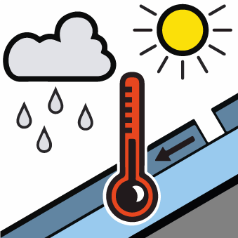
Moist snow slides and gliding avalanches are possible in the second half of the day.
A clear night will be followed in the early morning by favourable avalanche conditions mostly. As a consequence of warming during the day and the solar radiation, the likelihood of gliding avalanches and moist snow slides being released will increase gradually in particular on very steep sunny slopes in all altitude zones. The avalanches are rather small.
In addition small wind slabs formed in the vicinity of peaks on Wednesday. These can in very isolated cases be released by people.
In addition small wind slabs formed in the vicinity of peaks on Wednesday. These can in very isolated cases be released by people.
Snowpack
>
The snowpack is largely stable and its surface has a melt-freeze crust that is strong in many cases. As a consequence of partly cloudy skies a crust will form on the surface during the night. Sunshine and high temperatures will give rise from the middle of the day to gradual moistening of the snowpack in particular on steep sunny slopes in all altitude zones.
Above approximately 2000 m there are 100 to 200 cm of snow, and even more in some localities. Snow depths vary greatly at elevated altitudes, depending on the infuence of the wind.
Above approximately 2000 m there are 100 to 200 cm of snow, and even more in some localities. Snow depths vary greatly at elevated altitudes, depending on the infuence of the wind.
Tendency
As a consequence of low temperatures and snowfall fresh snow drift accumulations will form on Saturday.