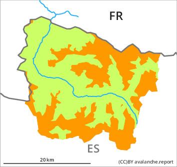
Danger level

2000m
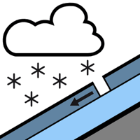
Avalanche Problem

New snow

2000m


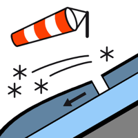
Wind slab

2300m


New snow and wind slabs: In the course of the day danger level 3 (considerable) will be reached.
The new snow and wind slabs can be released easily or naturally in all aspects and above the tree line. The avalanche prone locations are to be found in particular on steep shady slopes and adjacent to ridgelines and in gullies and bowls in all aspects. Mostly the avalanches are small but very easily released. As a consequence of new snow and a sometimes strong wind from southwesterly directions, deep wind slabs will form in the course of the day in particular adjacent to ridgelines as well as at elevated altitudes. In addition the older wind slabs of last week on north and east facing slopes and at high altitudes are prone to triggering in some locations.
Off-piste activities call for experience in the assessment of avalanche danger and careful route selection. Apart from the danger of being buried, restraint should be exercised in view of the danger of avalanches sweeping people along and giving rise to falls. The avalanche prone locations are barely recognisable because of the poor visibility.
Off-piste activities call for experience in the assessment of avalanche danger and careful route selection. Apart from the danger of being buried, restraint should be exercised in view of the danger of avalanches sweeping people along and giving rise to falls. The avalanche prone locations are barely recognisable because of the poor visibility.
Snowpack
>
The new snow and wind slabs will be deposited on the unfavourable surface of an old snowpack especially on wind-protected shady slopes above approximately 2000 m. They will become increasingly prone to triggering. Released avalanches and weak layers in the upper part of the snowpack indicate this situation. Over a wide area 5 cm of snow fell on Sunday above approximately 1500 m. The southwesterly wind has transported the new snow. Monday: Over a wide area 10 to 20 cm of snow, and even more in some localities, will fall above approximately 1500 m. The sometimes strong wind will transport the new snow significantly.
Above the tree line there are 20 to 50 cm of snow, and even more in some localities. At high altitudes and in high Alpine regions snow depths vary greatly, depending on the infuence of the wind. At low and intermediate altitudes only a little snow is now lying.
Above the tree line there are 20 to 50 cm of snow, and even more in some localities. At high altitudes and in high Alpine regions snow depths vary greatly, depending on the infuence of the wind. At low and intermediate altitudes only a little snow is now lying.
Tendency
Tuesday: Further increase in danger of dry avalanches as the snowfall becomes more intense.