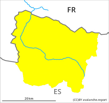
Danger level

2000m
Avalanche Problem

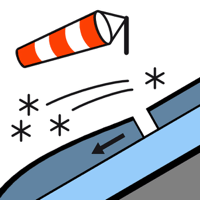
Wind slab

2000m


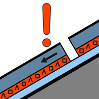
Persistent weak layer

2200m


Wind slabs and weakly bonded old snow require caution. Gliding avalanches and moist snow slides during the day are still possible.
By the early morning sometimes easily released wind slabs will form in particular adjacent to ridgelines on north and east facing slopes. The fresh wind slabs will be deposited on weak layers in particular on shady slopes. They are mostly small. In particular at high altitude the wind slabs will increase in size moderately as the day progresses. Avalanche prone weak layers exist deep in the snowpack in particular on very steep north and east facing slopes. These can be released in isolated cases. Sometimes the avalanches are medium-sized.
As a consequence of warming during the day more small and, in isolated cases, medium-sized gliding avalanches and moist snow slides are possible.
As a consequence of warming during the day more small and, in isolated cases, medium-sized gliding avalanches and moist snow slides are possible.
Snowpack
>
The westerly wind will transport the snow. Large quantities of fresh snow and the wind-drifted snow of last week are lying on a crust in all aspects at intermediate and high altitudes. In particular very steep, little used shady slopes and steep terrain that is interspersed with rocks: Faceted weak layers exist deep in the snowpack. Sunshine and high temperatures will give rise as the day progresses to increasing moistening of the snowpack in particular on steep sunny slopes. These conditions will bring about a detrimental transformation of the snowpack.
Tendency
Monday: Significant increase in danger of gliding avalanches and moist snow slides as a consequence of the rain.