Danger level

treeline
Avalanche Problem

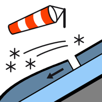
Wind slab

Treeline


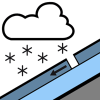
New snow


The Avalanche Warning Service currently has only a small amount of information that has been collected in the high Alpine regions, so that the avalanche danger should be investigated especially thoroughly in the relevant locality.
New snow and wind slabs are to be assessed with care and prudence.
A very large quantity of fresh snow and in particular local wind slabs can be released by a single winter sport participant in all aspects. Sometimes they are medium-sized. In particular intermediate and high altitudes adjacent to ridgelines and in pass areas: The no longer entirely fresh wind slabs are covered with new snow and therefore difficult to recognise. Very steep slopes: Dry snow slides are to be expected, but they will be mostly small.
Very steep grassy slopes: Gliding avalanches are possible. Sometimes these are rather small.
Backcountry touring calls for experience and restraint.
Very steep grassy slopes: Gliding avalanches are possible. Sometimes these are rather small.
Backcountry touring calls for experience and restraint.
Snowpack
>
80 cm of snow, and even more in some localities, has fallen since Saturday above approximately 1500 m. The new snow of the last few days has settled a little. The snowpack is not distinctly layered and has a loosely bonded surface. In particular adjacent to ridgelines and in pass areas intermediate and high altitudes: The gusty wind has transported the new snow significantly. For this reason snow depths vary greatly, depending on the infuence of the wind. Tuesday: 5 cm of snow, and even more in some localities, will fall until midday. Until the early morning the weather will be cloudy. From midday the weather will be sunny at times.
Tendency
Wednesday: Slight decrease in danger of dry avalanches. Gradual increase in danger of gliding avalanches in particular on very steep grassy slopes.