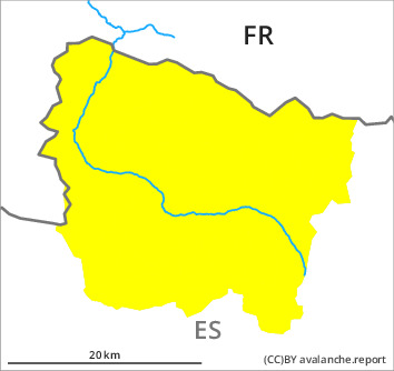
Danger level

2300m
Avalanche Problem
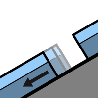
Gliding snow

2300m

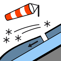
Wind slab

Treeline


Gliding snow represents the main danger. Wind slabs at elevated altitudes.
Very steep grassy slopes: Gliding avalanches require caution. Sometimes Explanation: "these" may only stand for "these avalanches" are medium-sized. They can be released at any time of day or night.
As a consequence of new snow and a sometimes moderate southeasterly wind, mostly shallow wind slabs formed in the last two days especially adjacent to ridgelines and in pass areas. These can be released by people, but they will be small in most cases. The somewhat older wind slabs are in isolated cases deep and can be released by large loads in particular.
In particular steep sunny slopes: As the moisture increases more loose snow slides are to be expected, but they will be mostly small.
Backcountry touring calls for meticulous route selection.
Snowpack
>
The new snow of the last few days has settled a little. The snowpack is fairly homogeneous; its surface is loosely bonded and consists of surface hoar. At intermediate and high altitudes there are 50 to 100 cm of snow. In particular at high altitude snow depths vary greatly, depending on the infuence of the wind. Friday: Some snow will fall in the late morning in particular in the southernmost and easternmost part of Aran. The weather will be sunny at times.
Tendency
Saturday: The danger of gliding avalanches and snow slides will not decrease for the time being.