Danger level

treeline
Avalanche Problem

Wind slab

Treeline


Persistent weak layer
2000m

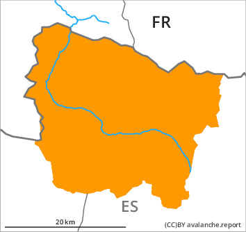
The avalanche conditions remain dangerous. Especially at the southern border of Aran the avalanche prone locations are more prevalent and the danger is greater.
New snow and wind slabs. Weakly bonded old snow on shady slopes.
The new snow and wind slabs of last week can be released easily or naturally in all aspects. As a consequence of new snow and a moderate to strong southwesterly wind, further wind slabs will form during the course of the night adjacent to ridgelines and in gullies and bowls. In many cases the avalanches are medium-sized.
Faceted weak layers exist in the bottom section of the snowpack on shady slopes. Especially transitions from a shallow to a deep snowpack: Weak layers in the old snowpack can be released very easily. In particular at intermediate and high altitudes they are sometimes large. Remotely triggered and natural avalanches are to be expected.
In particular steep sunny slopes: As a consequence of solar radiation moist snow slides are to be expected, even medium-sized ones. Individual gliding avalanches can also occur.
At the border to Ribagorça and Pallars the avalanche prone locations are more prevalent and the danger is slightly greater. Restraint is advisable on this first sunny day after a long period of poor weather. Backcountry touring and other off-piste activities call for extensive experience in the assessment of avalanche danger.
Snowpack
>
Distinct weak layers exist in the bottom section of the old snowpack in particular on rather lightly snow-covered west, north and east facing slopes.
Friday: The weather will be sunny at times. The southwesterly wind will transport the new snow.
At intermediate altitudes there are 80 to 120 cm of snow, and even more in some localities. At elevated altitudes snow depths vary greatly, depending on the infuence of the wind.
Friday: The weather will be sunny at times. The southwesterly wind will transport the new snow.
At intermediate altitudes there are 80 to 120 cm of snow, and even more in some localities. At elevated altitudes snow depths vary greatly, depending on the infuence of the wind.
Tendency
Saturday: The avalanche danger will increase but remain within the current danger level. Over a wide area 10 to 20 cm of snow will fall in all altitude zones.