Danger level
Avalanche Problem

Wind-drifted snow

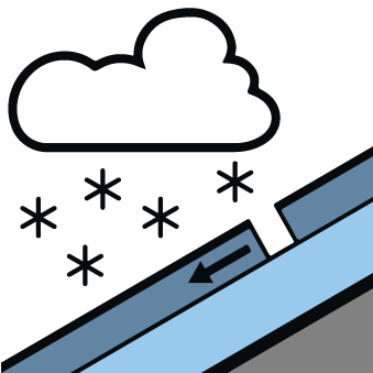
New snow

Treeline

New snow and wind slabs above the tree line.
The new snow and wind slabs of yesterday can be released easily or naturally in all aspects and at intermediate and high altitudes. In particular adjacent to ridgelines and in gullies and bowls the wind slabs have increased in size substantially. Dry avalanches are rather small but in many cases easily released.
Snowpack
>Over a wide area 30 cm of snow has fallen since Tuesday above approximately 1500 m. Over a wide area wind slabs are lying on a hard crust. Backcountry touring calls for careful route selection. Backcountry touring and other off-piste activities call for defensive route selection.
Tendency
Gradual decrease in danger as a consequence of the ceasing of precipitation. The peak of avalanche activity is expected by the middle of the day on steep sunny slopes.