Danger level
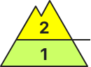
2400m
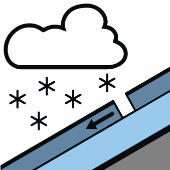
Avalanche Problem

Wind-drifted snow

2400m

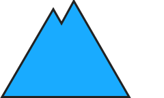
New snow

The new snow and wind slabs of the last few days must be evaluated with care and prudence.
Fresh and somewhat older wind slabs are to be found in particular on east, southeast and south facing slopes and generally at high altitudes. The new snow-covered wind slabs of Tuesday can be released by a single winter sport participant in some cases in particular on very steep northeast, east and southeast facing slopes above approximately 2400 m. In isolated cases Explanation: "these" may only stand for "these avalanches" are medium-sized.
The new snow of Tuesday can still be released in some cases in particular on very steep shady slopes at intermediate and high altitudes. These are rather small.
The new snow of Tuesday can still be released in some cases in particular on very steep shady slopes at intermediate and high altitudes. These are rather small.
Snowpack
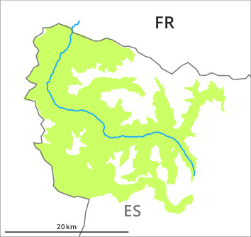
>Up to 10 cm of snow fell on Tuesday in all altitude zones. At the southern and eastern borders of Aran snow depths vary greatly, depending on the infuence of the wind. As a consequence of low temperatures the snowpack will become faceted during the next few days and therefore lose strength. Towards its base, the snowpack is favourably layered.
Backcountry touring and other off-piste activities call for experience in the assessment of avalanche danger and caution.
Backcountry touring and other off-piste activities call for experience in the assessment of avalanche danger and caution.
Tendency
The avalanche danger will persist.