Danger level

2200m
Avalanche Problem
Wind-drifted snow

2200m

Gliding snow
2300m


Wind slabs and gliding snow are to be avoided.
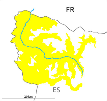
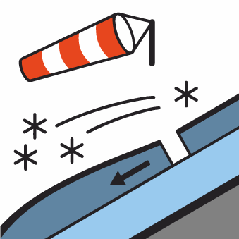
The more recent wind slabs can be released very easily on northeast to south to west facing aspects at intermediate and high altitudes. This applies in particular on wind-loaded slopes and at the southern and eastern borders of Aran. Sometimes the avalanches in these regions are medium-sized. Remotely triggered avalanches are possible. The new snow of the weekend can be released by a single winter sport participant in particular on very steep shady slopes above the tree line. In many cases these are small.
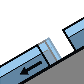
As a consequence of warming during the day and solar radiation small and, in isolated cases, medium-sized loose snow avalanches are possible in all altitude zones. Gliding avalanches are also to be expected. Sometimes these are medium-sized.
As a consequence of warming during the day and solar radiation small and, in isolated cases, medium-sized loose snow avalanches are possible in all altitude zones. Gliding avalanches are also to be expected. Sometimes these are medium-sized.
Snowpack
>Over a wide area 20 to 30 cm of snow has fallen since Saturday in all altitude zones. As a consequence of the moderate northerly wind, fresh snow drift accumulations will form in the course of the day. Over a wide area new snow and wind slabs are lying on old snow containing large grains. In its middle, the snowpack is favourably layered.
Backcountry touring and other off-piste activities call for experience and restraint.
Backcountry touring and other off-piste activities call for experience and restraint.
Tendency
The danger of dry avalanches will persist.