Danger level
2300m
Avalanche Problem
Persistent weak layer

2300m


Wet snow
2000m

Weakly bonded old snow and wet snow require caution.
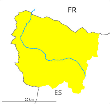
The deep wind slabs of Monday can be released in isolated cases, but mostly only by large additional loads, on very steep shady slopes above approximately 2300 m, especially at their margins. In isolated cases the avalanches in these loacations are dangerously large. At the southern and eastern borders of Aran and at elevated altitudes the avalanche situation is more precarious.
On very steep sunny slopes and in starting zones where no previous releases have taken place more gliding avalanches and moist snow slides are possible as the day progresses, even medium-sized ones.
Backcountry touring and other off-piste activities call for meticulous route selection.
On very steep sunny slopes and in starting zones where no previous releases have taken place more gliding avalanches and moist snow slides are possible as the day progresses, even medium-sized ones.
Backcountry touring and other off-piste activities call for meticulous route selection.
Snowpack
>The snowpack is largely stable. High altitudes in shady places that are protected from the wind: In isolated cases relatively hard layers of snow are lying on a weakly bonded old snowpack. In some cases the wind slabs have bonded still only poorly with each other and the old snowpack. This applies in particular on rather lightly snow-covered shady slopes and at elevated altitudes.
Intermediate altitudes and sunny slopes: The surface of the snowpack will freeze to form a strong crust and will soften during the day.
At low altitude from a snow sport perspective, in most cases insufficient snow is lying.
Intermediate altitudes and sunny slopes: The surface of the snowpack will freeze to form a strong crust and will soften during the day.
At low altitude from a snow sport perspective, in most cases insufficient snow is lying.
Tendency
Gradual decrease in danger of dry avalanches on shady slopes. Significant decrease in danger of moist avalanches as the temperature drops.