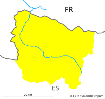
Danger level

Avalanche Problem
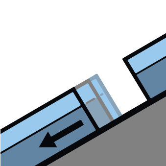
Gliding snow

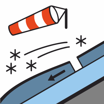
Wind-drifted snow

2500m


Gliding avalanches and moist snow slides during the day are the main danger. Wind slabs in high Alpine regions.
A clear night will be followed in the early morning by favourable avalanche conditions generally. As the day progresses as the penetration by moisture increases there will be a gradual increase in the danger of gliding avalanches and moist snow slides to level 2 (moderate). The avalanche prone locations are to be found in particular on west, north and east facing slopes at low altitude and on south facing slopes in all altitude zones.
In addition the more recent wind slabs in the vicinity of peaks are prone to triggering in isolated cases still. These can in isolated cases be released by a single winter sport participant, but they will be small in most cases. The avalanche prone locations are to be found in particular on steep northeast to east to southeast facing slopes above approximately 2500 m.
In addition the more recent wind slabs in the vicinity of peaks are prone to triggering in isolated cases still. These can in isolated cases be released by a single winter sport participant, but they will be small in most cases. The avalanche prone locations are to be found in particular on steep northeast to east to southeast facing slopes above approximately 2500 m.
Snowpack
>
The snowpack will be wet all the way through below approximately 2500 m. The surface of the snowpack will freeze to form a strong crust and will already soften in the late morning.
As a consequence of a moderate to strong westerly wind, small wind slabs formed in the course of the day in the vicinity of peaks.
As a consequence of a moderate to strong westerly wind, small wind slabs formed in the course of the day in the vicinity of peaks.
Tendency
Thursday: A clear night will be followed by favourable avalanche conditions mostly, but the danger of wet and gliding avalanches will increase later.