Danger level

Avalanche Problem

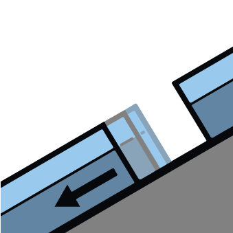
Gliding snow


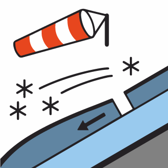
Wind-drifted snow

2200m


Increase in danger of gliding avalanches and moist snow slides as a consequence of warming during the day and solar radiation. In addition the small wind slabs must be taken into account.
A clear night will be followed in the early morning by favourable avalanche conditions generally. From the middle of the day small and, in isolated cases, medium-sized gliding avalanches and moist snow slides are to be expected. The avalanche prone locations are to be found on very steep sunny slopes in all altitude zones and on grassy slopes.
The small wind slabs of Monday can still be released in some cases in particular on shady slopes above approximately 2200 m.
The small wind slabs of Monday can still be released in some cases in particular on shady slopes above approximately 2200 m.
Snowpack
>
Until Thursday the weather will be very warm.
In particular near-ridge shady slopes: In many places there is a danger of falling on the hard snow surface. Sunny slopes: The surface of the snowpack will freeze to form a strong crust and will soften during the day.
Above approximately 2000 m there are 100 to 200 cm of snow, and even more in some localities. Snow depths vary greatly at elevated altitudes, depending on the infuence of the wind.
Tendency
The danger of gliding avalanches and moist snow slides will persist. The danger of dry slab avalanches will decrease gradually.