Danger level

Avalanche Problem
Persistent weak layer


Wind slab



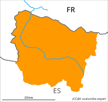
The avalanche danger in particular above the tree line is within the uppermost range of danger level 3 (considerable). The current avalanche situation calls for defensive route selection.
Wind slabs and weakly bonded old snow are to be assessed with care and prudence.
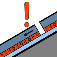
The new snow of last week is lying on the unfavourable surface of an old snowpack on steep, little used shady slopes above approximately 1900 m. In many cases the avalanches in these loacations are large and can be released by a single winter sport participant. Transitions from a shallow to a deep snowpack where weaknesses exist in the old snowpack are especially dangerous. Remotely triggered avalanches are possible in isolated cases.
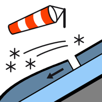
In addition the deep wind slabs of the last few days on south and east facing slopes are capable of being triggered still. Mostly the avalanches in these loacations are medium-sized and can be released also by a single winter sport participant. As a consequence of new snow and a moderate to strong northeasterly wind, further wind slabs formed during the course of the night. These are mostly rather small but can be released easily.
Restraint is advisable on this first sunny day after a long period of poor weather. When freeriding, bear in mind that many off-piste routes have barely been used at all this winter to date.
Snowpack
>
The snowpack remains unstable on wind-loaded slopes. In some places new snow is lying on a weakly bonded old snowpack. Whumpfing sounds and snow profiles indicate a very precarious avalanche situation. In the last few days on very steep north, east and south facing slopes numerous medium-sized and, in isolated cases, large avalanches were reported.
Up to 80 cm of snow fell in the last six days above approximately 1800 m. Up to 10 cm of snow will fall until the early morning in all altitude zones.
Above the tree line there are 50 to 100 cm of snow, and even more in some localities. At intermediate and high altitudes snow depths vary greatly, depending on the infuence of the wind.
Tendency
Monday: The avalanche danger will not decrease for the time being.