Danger level

Avalanche Problem

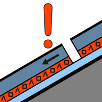
Persistent weak layer


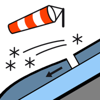
Wind slab

2200m


Wind slabs and weakly bonded old snow represent the main danger.
The new snow of last week is lying on soft layers in particular on wind-protected shady slopes above approximately 1800 m. Sometimes the avalanches in these loacations are medium-sized. These can as before be released by people.
In addition the mostly small wind slabs of the weekend adjacent to ridgelines on northeast, east and south facing slopes and at high altitudes are capable of being triggered in some cases still.
The avalanche prone locations are covered with new snow and are therefore difficult to recognise. The current avalanche situation calls for careful route selection.
Snowpack
>
Some snow will fall during the night over a wide area.
40 to 70 cm of snow, and even more in some localities, has fallen since Wednesday. In some places new snow and wind slabs are lying on old snow containing large grains. Released avalanches and whumpfing sounds and the formation of shooting cracks when stepping on the snowpack indicate a precarious avalanche situation on very steep shady slopes.
In high Alpine regions snow depths vary greatly, depending on the infuence of the wind. At intermediate and high altitudes there are 60 to 120 cm of snow, and even more in some localities.
Tendency
Saturday: The danger of dry slab avalanches will persist.