AM
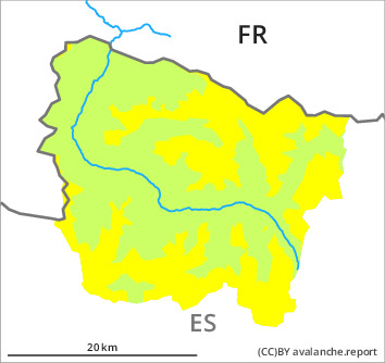

Danger level

2300m
Avalanche Problem
Wind slab

2300m

PM
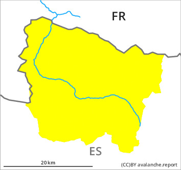

Danger level

Avalanche Problem
Wet snow


Early morning: Wind slabs at high altitude. Moist avalanches and gliding avalanches are to be expected from the afternoon.
The more recent wind slabs can be released by a single winter sport participant in some cases in all aspects above approximately 2300 m. They are mostly small. The avalanche prone locations are to be found in particular on near-ridge north, east and south facing slopes.
In the evening as the snowfall level rises there will be a significant increase in the danger of moist avalanches. Numerous small and, in isolated cases, medium-sized avalanches are to be expected in all altitude zones. Gliding avalanches are also to be expected.
In the evening as the snowfall level rises there will be a significant increase in the danger of moist avalanches. Numerous small and, in isolated cases, medium-sized avalanches are to be expected in all altitude zones. Gliding avalanches are also to be expected.
Snowpack
>
5 to 10 cm of snow, and even more in some localities, has fallen since yesterday above approximately 2000 m. The wind was moderate to strong adjacent to ridgelines.
Up to high altitudes rain will fall until Sunday.
New snow and wind slabs are lying on a moist old snowpack.
Above approximately 2000 m there are 20 to 30 cm of snow, and even more in some localities. Snow depths vary greatly, depending on the infuence of the wind. At low altitude from a snow sport perspective, insufficient snow is lying.
Tendency
As a consequence of the ceasing of precipitation there will be a gradual decrease in the danger of moist avalanches on Sunday.