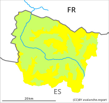
Danger level

1800m
Avalanche Problem

Wet snow

1800m

Wet snow represents the main danger.
As the day progresses an unfavourable avalanche situation will persist in some regions. As the moisture increases more moist snow slides and avalanches are possible, even medium-sized ones. Avalanches can be released by people or triggered naturally. In particular at the border to Benasque and at the border to Ribagorça and Pallars the avalanche prone locations are more prevalent and the danger is greater. In addition a latent danger of gliding avalanches exists.
The current avalanche situation calls for restraint.
The current avalanche situation calls for restraint.
Snowpack
>
The avalanche conditions remain spring-like. Outgoing longwave radiation during the night will be reduced. The sleet will give rise towards the evening to rapid and thorough wetting of the snowpack in some cases in all aspects also at elevated altitudes. The southerly foehn wind will transport only a little snow.
Above approximately 2000 m there are 20 to 100 cm of snow, and even more in some localities. At high altitudes and in high Alpine regions snow depths vary greatly, depending on the infuence of the wind.
Above approximately 2000 m there are 20 to 100 cm of snow, and even more in some localities. At high altitudes and in high Alpine regions snow depths vary greatly, depending on the infuence of the wind.
Tendency
Some snow will fall on Tuesday over a wide area. Gradual increase in danger of dry avalanches as a consequence of new snow and wind. Sharp decrease in danger of moist avalanches as the temperature drops.