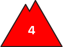
Danger level
2400m
Avalanche Problem

Wet snow
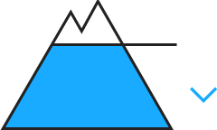
2400m


Wind slab

Treeline
The peak of avalanche activity will be reached by the middle of the day probably.
As a consequence of new snow and warming a dangerous avalanche situation will prevail.
By midday as the penetration by moisture increases there will be a significant increase in the danger of moist and wet avalanches. Medium-sized and large moist and wet avalanches are possible below approximately 2400 m.
In particular adjacent to ridgelines on north and northeast facing slopes the wind slabs will increase in size as the day progresses. Fresh and somewhat older wind slabs can be released easily. or in isolated cases naturally, in all aspects and generally at intermediate and high altitudes.
Especially steep shady slopes, areas where the snow cover is rather shallow: Dry avalanches can also be triggered in the old snowpack and reach very large size.
All aspects: Gliding avalanches can be released at any time of day or night. In isolated cases Explanation: "these" may only stand for "these avalanches" are large.
Backcountry touring and other off-piste activities call for very extensive experience and great restraint.
Snowpack
>
The high humditiy will give rise to significant moistening of the snowpack below approximately 2400 m.
15 to 20 cm of snow will fall until the evening above approximately 2200 m. The sometimes strong wind will transport the new snow significantly.
Large-grained weak layers exist in the bottom section of the old snowpack in particular on rather lightly snow-covered west, north and east facing slopes.
At intermediate altitudes there are 100 to 150 cm of snow, and even more in some localities.
Tendency
Wednesday: 5 to 15 cm of snow will fall during the night above approximately 2000 m. The avalanche danger will not decrease for the time being.